
The Pantanal, one of the planet's largest and most exuberant wetland biomes, has been experiencing increasing challenges related to environmental conservation, deforestation, and territorial management. In a scenario where the agility and precision of information are crucial, the news of the partnership between the Rural Environmental Registry (CAR) and Google's technological tools emerges as a beacon of hope. This collaboration promises to optimize the efficiency of CAR, transforming the way environmental compliance is monitored and applied in the Pantanal region.
The Importance of CAR for the Pantanal
The Rural Environmental Registry (CAR) is a fundamental tool for the environmental regularization of rural properties in Brazil. In the Pantanal, its relevance is even greater due to the complexity of the biome, characterized by flood and dry cycles that shape the landscape and wildlife. CAR allows for the identification and mapping of Permanent Preservation Areas (APPs), Legal Reserves (RLs), and consolidated use areas, making it an essential instrument for the environmental and economic planning of properties.
However, the implementation and enforcement of CAR in the Pantanal face significant obstacles. The vast territory, difficulty of access to certain regions, seasonality of waters, and scarcity of human and technological resources for data analysis are factors that historically hinder its full effectiveness. It is in this context that Google's technological expertise can make a difference, offering solutions to overcome these barriers.
Challenges of Environmental Management in the Wetland Biome
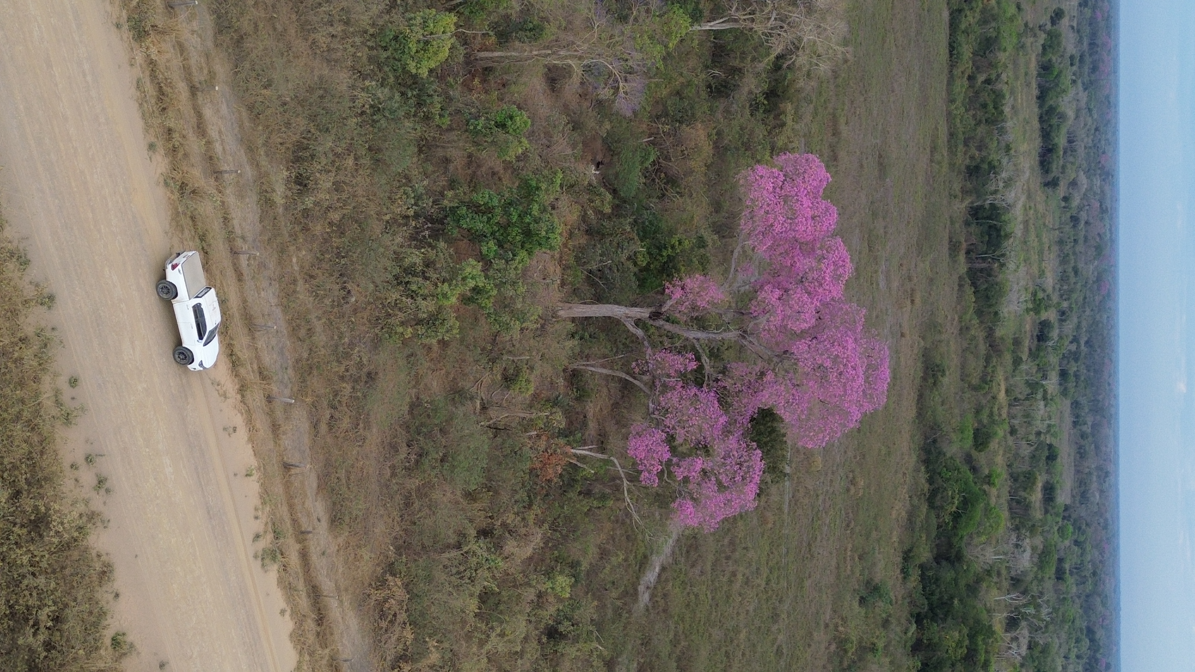
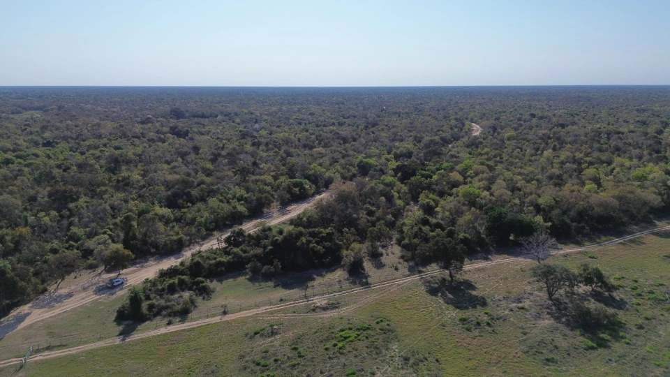
The Pantanal is a mosaic of interconnected ecosystems, where extensive cattle ranching, a traditional economic activity, coexists with impressive biodiversity. Pressure for new pasture areas, inappropriate land use, and, more recently, devastating wildfires, have placed the biome under unprecedented stress. Effective environmental management requires not only the identification of irregularities but also the ability to predict risks and plan mitigation and recovery actions.
The partnership with Google aims to enhance CAR's ability to provide more precise and real-time data. This means that environmental agencies, rural landowners, and researchers will have access to high-quality georeferenced information, allowing for a deeper analysis of changes in vegetation cover, land use, and hydrography. The integration of high-resolution satellite imagery, artificial intelligence, and advanced algorithms can accelerate the validation process of registrations and identify areas requiring urgent intervention.
How Google Technology Optimizes CAR
The collaboration with Google brings a series of tangible benefits for CAR in the Pantanal. One of the main contributions is the improvement in the quality and speed of spatial data analysis. Mapping platforms